
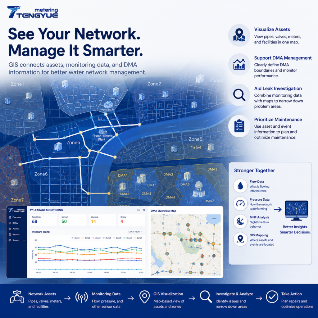
GIS Water Network Management: Asset and Leak Guide
GIS water network management connects asset information with geographic locations, helping utilities see where pipes, valves, meters, DMA boundaries, and monitoring points are—and how they relate to operational data. Water distribution networks contain thousands of interconnected assets, including pipelines, valves, meters, pumps, and monitoring devices. For water utilities, understanding where these assets are located and […]
GIS Water Network Management: Asset and Leak Guide Ler mais »