
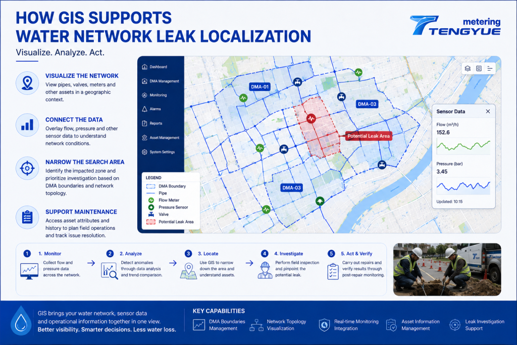
GIS for Water Network Management: Leak Localization
GIS for water network management connects asset information with geographic locations, helping utilities see where pipes, valves, meters, and DMA boundaries are—and how they relate to monitoring data. Water distribution networks can extend across large urban areas, with underground pipes, valves, meters, and other assets spread across complex systems. When abnormal flow or pressure patterns […]
GIS for Water Network Management: Leak Localization Ler mais »